Regional economics
Economic structural change takes place on a regional and sectoral level.
Economica supports and accompanies the actors of economic structural change with a portfolio of models and visualization tools that is as extraordinary as it is powerful.
Central research agendas in the field of regional economics concern the accessibility of residential locations as well as of production sites, the guarantee of local supply and the availability of knowledge-intensive services in space. In this context, the concept of accessibility encompasses both spatial (infrastructure-specific distances, degrees of digitization, etc.) and temporal distance components (travel time distances, opening hours, (un)planned system failures, etc.).
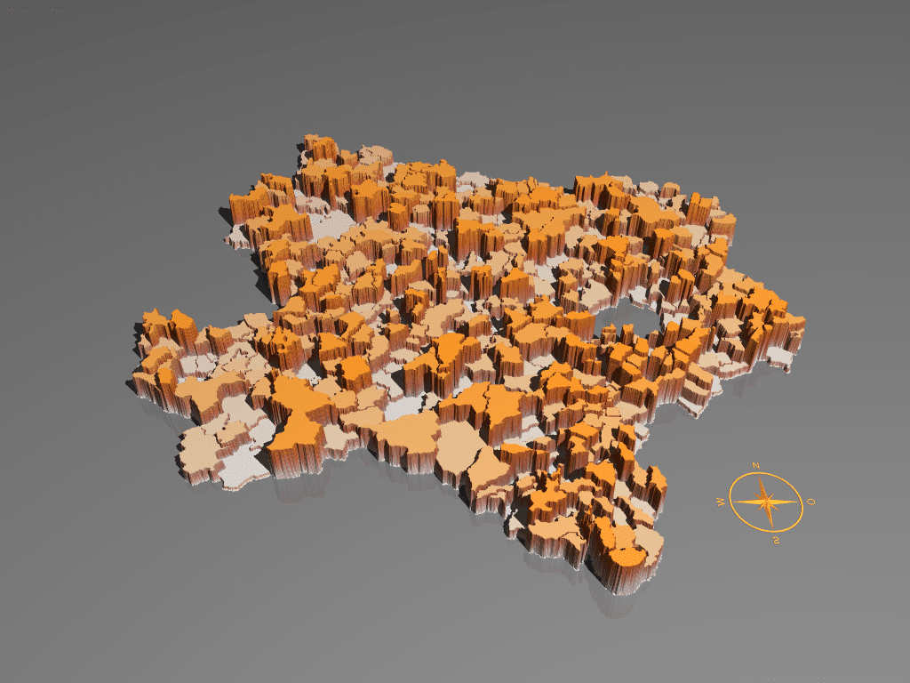
Examples of Economica's genuine product creations are value-added maps and accessibility mountains. The former show the intensity of value creation per spatial unit (e.g., square kilometer) on an area-wide basis down to the regional or local level. Accessibility mountains, on the other hand, show the employment and income generation opportunities in the region depending on distance. In creating them, Economica uses its own unique suite of Big Data visualizations with a high degree of recognition based on ray tracing technologies. Hot spots of value creation, wealth poles and productivity sinks become evident, their characteristics (for example, metropolitan versus polycentric development) tangible. Regional performance differences of several hundred percent per decade can be traced back to specific causes. They are not a coincidence, but the result of economic policy actions and as such can be shaped in the future.


